Ten Questions for Sweep
“Our hope is that North Texas doesn’t just preserve its natural spaces, but makes them easier to discover, access, and care about. If more people can build a relationship with the outdoors close to home, that’s a win for both the people who live here and the places themselves.“
Introduction
If you haven’t used Sweep, or its predecessor Outdoor Explorer TX, you need to check it out! It has become one of my most-used digital tools when I’m out on a trail. From finding where I am on a trail, to making sure I know how to get to an interesting trail feature, or, more critically, finding my way out of a trail should an emergency arise, the developers of Sweep have created an incredibly useful tool for outdoor recreation in North Texas!
When I wanted to start this new series of posts interviewing local organizations, Lauren and Katrina were at the top of my list to approach. Developing an app is no easy feat, especially doing it on both Android and iOS platforms. In talking with them they have a lot of ideas to continue improving the app, so I’m excited to see new features come to fruition!
Read on!
Ten Questions
1. Let’s start at the beginning. What is your personal relationship with the outdoors, and what sparked your own love for exploring local trails, parks, and green spaces?
Lauren: I grew up in Southern Louisiana and went RV camping with my grandparents at state parks across Mississippi and Alabama, plus a trip to Pensacola Beach with my parents every summer. The rest of the time, I was riding my bike through the woods behind our neighborhood.
Like a lot of people, I drifted away from the outdoors a bit as I got older, but I never completely lost it. I still loved being outside, even if it was just a jog around the Village lakes. About seven years ago, my partner Steve and I started RV camping together, and that really opened up state and national parks for me and got me more serious about hiking.
When we came home from those trips, I started looking for places to explore closer to Dallas and was surprised by how much was here. People love to say Dallas doesn’t have nature, but what they usually mean is Dallas doesn’t have mountains. A bottomland forest or a patch of remnant prairie doesn’t announce itself like a mountain. You have to go find it, but it’s here.
Katrina: I grew up in the Pacific Northwest, where hiking was a big part of my upbringing. My family took backpacking trips across the coast and country, and I loved it.
When I moved to Dallas, the terrain was obviously a little different, but I still found surprisingly beautiful places to hike. I became obsessed with exploring as many Texas State Parks as possible and set a goal of visiting every National Park in the state too.
Over time, I realized how important being outside was for both my physical and mental health, and I wanted to share that with others. Building something that helps people get outside, explore with confidence, and connect with others feels very personal to me.
2. What was the original “lightbulb moment” or frustration that inspired you to build Outdoor Explorer TX in the first place?
Lauren: During the pandemic, I taught myself Android development, and a buddy and I had an idea: what if you could see your blue dot on one of those cartoony festival maps, the hand-drawn ones with the stages, food booths, and porta-potties? So we started building that.
That Christmas, Steve and I had a trip planned to Big Bend, and I figured the park map would make a good test case. I knew so little about Texas parks at the time that I didn’t realize Big Bend Ranch and Big Bend National Park were VERY DIFFERENT places. Big Bend Ranch is an absolute maze of tiny gravel roads, and the test app turned out to be genuinely useful. Not “neat demo” useful, but “I actually need this right now” useful.
When the festival idea petered out, like most ideas do, I was still revved up to build something, and that trip had shown me what: park maps. I figured I’d start with Texas state parks. I thought there were probably, what, ten of those? There are eighty-nine.
Katrina: My path to Sweep was pretty different. I’d spent years building startups and apps, mostly in sports, which was my first passion. But being outdoors has always been in my DNA too, and for years I’d had this idea that someday I wanted to take what I’d learned building companies and apply it to something in the outdoor space. I just didn’t know exactly what that would look like, and I hadn’t found the right people to build it with.
Then one day, I saw Lauren post about Outdoor Explorer: TX in a hiking Facebook group I was in. I thought the idea was really interesting, so I reached out and basically said, “I’d love to meet you, hear more about what you’re building, and see if I can help.” We met, became fast friends, and realized pretty quickly that we worked really well together. I could bring my startup and business experience to something Lauren had already built around a problem we both genuinely cared about solving, and we started thinking about how much bigger it could become.
We quickly realized how much more there was to explore, from state parks to local trail systems. There’s a reason rangers still hand you a paper map at the gate. It has everything you need on it; it just doesn’t know where you are.
3. For those who used and loved the original app Outdoor Explorer TX, what did you see as its limitation, and what did you want to make possible with Sweep that wasn’t possible before?
Outdoor Explorer TX was built for Texas. We wanted Sweep to help people explore parks and trails everywhere, starting with national parks and eventually building a much larger catalog of park maps. Also, the name was too long! No one names an app with seven syllables. That’s one honest answer.
Getting there means rethinking how maps get into the app. Today, much of that process is manual, which makes us the bottleneck. We’re building a system to automate most of the map processing so the number of parks we can support isn’t limited by our time.
4. When someone downloads Sweep and heads out onto a trail for the day, what is your ultimate hope for what they experience?
We want Sweep to give people enough confidence that they can stop thinking about navigation and enjoy being outside.
For some people, simply not knowing where to start, where to go, or whether they’ll be able to find their way back can be a barrier to exploring a new park. Sweep should remove that uncertainty. Check where you are, figure out which fork to take, and put your phone back in your pocket.
That’s really the goal: technology that helps you be more present outside, rather than giving you another reason to stare at a screen. The one exception is recording your hike. It’s fun to look back at the line you drew across the map — six miles, a thousand feet of climbing, the little detour you took to investigate something — and feel proud of that.
5. Building an app centered around official park maps is a unique approach compared to some other apps that let users upload and share their own custom paths. Why was relying on official maps so important to you?
It comes down to context and reliability. When you visit a park, you’re rarely thinking about just one trail. You need to find your campsite and figure out how to get to the trailhead. You want to understand the whole trail network, how different routes connect, and where to find points of interest. After the hike, you want to find the bathroom and then figure out where the gift shop is to get ice cream.
All of those things are on the official park map because it’s created specifically to help people experience that park. These maps are also often beautifully designed and incorporate knowledge from the people who know the area best.
Sweep takes the map you’d get at the visitor center and makes it interactive by showing your live location on it. Instead of recreating the park from scratch, we’re building on the information the park has already provided.
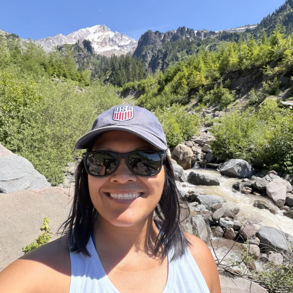
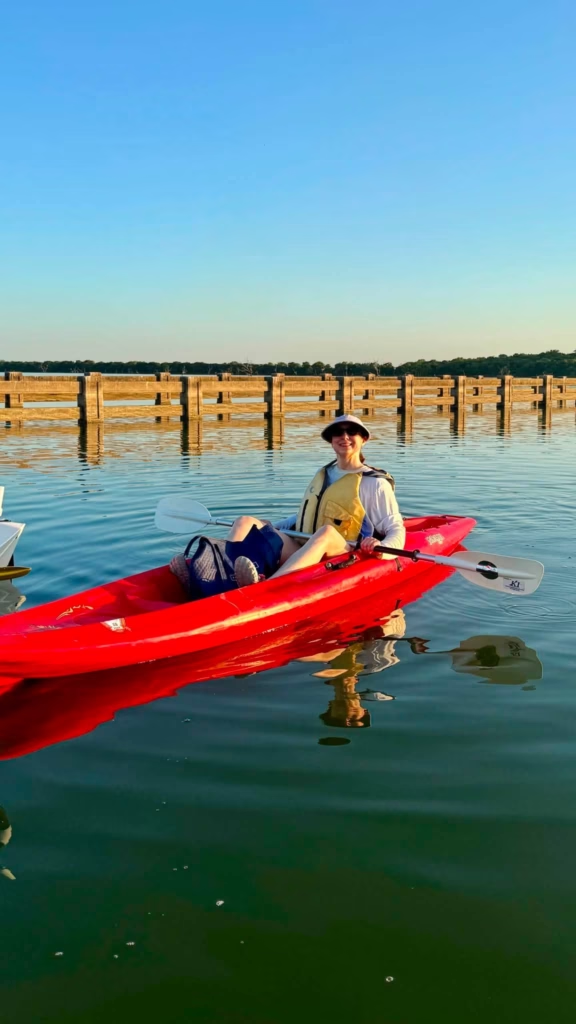
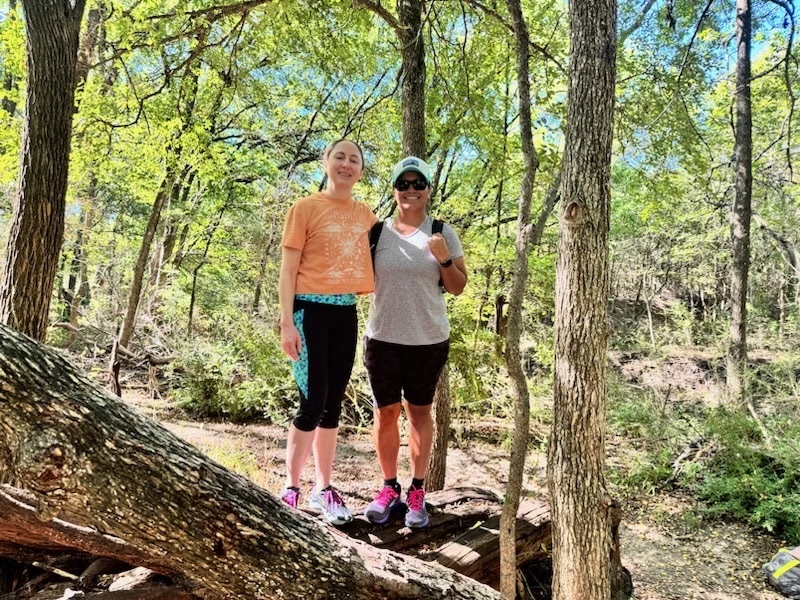
Katrina and Lauren exploring nature
6. What are some of the biggest technical or logistical hurdles you’ve faced when bringing reliable trail navigation to life, especially across different types of terrain in Texas?
One of the biggest technical challenges is that every map is different. Sometimes a trail doesn’t appear on Google Maps at all, or it’s so faint that we have to use satellite imagery and other reference points to determine exactly where it sits.
Fortunately, Texas State Parks and many national park maps are remarkably accurate to scale. Campground maps can be trickier because they’re often designed for readability rather than geographic precision, which is great on paper but harder when you’re trying to align them with the real world. Sometimes it’s a judgment call: how far off scale can a map be before it becomes more confusing than helpful?
7. From your perspective, how is the way people explore North Texas changing? Are you seeing any interesting trends in where people are going, what they’re looking for, or how they use the trails and parks?
We’re seeing more interest in natural-surface trails and places where people can really feel immersed in nature. DFW has a huge network of paved trails, and they’re valuable, but they’re not the same as being on a narrow dirt trail where you really feel like you’re in nature. One of the clearest examples is how many hikers use DORBA trails. Those trails were largely built and maintained by the mountain biking community, but hikers show up too because people are actively looking for that kind of natural experience.
The demand is there. The bigger challenge is helping people realize how many of those places actually exist around North Texas.
8. North Texas is growing at a staggering pace. How do you see digital tools and apps playing a role in helping people discover and appreciate the natural areas we still have, and can technology actually contribute to protecting them?
Technology can help people realize they have more options than the handful of parks everyone already knows. Places like Cedar Ridge Preserve and Arbor Hills can get extremely crowded on nice weekends, while smaller neighborhood trails and areas like the Great Trinity Forest remain relatively unknown. Helping people discover those alternatives can spread visitors across more parks and take some of the pressure off the most popular trails.
There’s a responsibility that comes with that. Smaller natural areas aren’t always prepared for a sudden influx of visitors, so education around things like Leave No Trace is important too.
Ultimately, though, we think discovery can help conservation. People tend to protect places they know and care about. They volunteer, support local organizations, advocate for green space, and become invested in protecting these places for the future.
9. Looking down the road over the next few years, what ultimately do you see Sweep becoming? Is there a larger vision for the project that you’d like to share?
We’d love for Sweep to become the go-to tool for exploring parks and connecting with the outdoor community around them.
Navigation is the foundation, but we want Sweep to support more of the experience around getting outside, from hike leaders organizing their groups to parks connecting people with events. We’re especially excited about the potential for hiking groups. There are dozens in DFW alone organizing hikes every week, often piecing together Facebook, Meetup, and other tools that weren’t built for what they’re doing. We think there’s room to build something that is.
We also want the map catalog to become a living thing. Automating map processing is step one. From there, we’d like users and organizations to contribute and update maps themselves, so Sweep can keep up as parks change and grow alongside the community using it.
10. Stepping outside of app development for a moment: what do you see as the biggest challenge facing outdoor enthusiasts in North Texas over the next decade, and what is your biggest hope for the region?
One of the biggest challenges will be making sure access to nature keeps up with North Texas’s growth. As the region adds millions of people and development continues, protecting and connecting natural spaces becomes increasingly important.
The Great Trinity Forest is a perfect example. It’s one of the largest urban bottomland forests in the country and could be an incredible outdoor destination. Imagine a network of unpaved trails running from Piedmont Ridge all the way down to Goat Island. But the area also has a long history of neglect: illegal dumping, Shingle Mountain piling up nearby, and even parts of the forest being cleared and excavated in connection with the Trinity Forest golf course.
Treat a place like that long enough, and people start to see it as abandoned and a little scary.
That’s starting to change. Local organizations are building trails and creating community in the area. Our hope is that North Texas doesn’t just preserve its natural spaces, but makes them easier to discover, access, and care about. If more people can build a relationship with the outdoors close to home, that’s a win for both the people who live here and the places themselves.

Jeff
A long time native of North Texas, I love to hike and mountain bike in my spare time. I’m always looking for some place new to explore, which is why I’m doing this site.

You May Also Like
Waterfalls Near DFW: 10 Drivable Waterfalls to Explore (2026)
Brookhaven Trail / Vitruvian Park