SOPAC Trail
The SOPAC trail, or Southern Pacific Trail, is a 5.5 mile trail, built on a former railroad corridor. Part of the East Dallas bike trail system, it provides connections to several other trails in the area. It’s a linear paved trail, and the city has plans to expand in the future (for example, connecting to the North Haven trail).
Distance
5.5 Miles
Trail Type
Paved
Best Use
Road Bikes, Jogging, Walking
Shade
Shady
Location
NE Dallas
Facilities
None
Parking
See Below
Linear / Loop
Linear Trail
Where to Park: No real parking for SOPAC itself, but you can park at White Rock Lake or other trails that it connects to
Official Website: Official Site
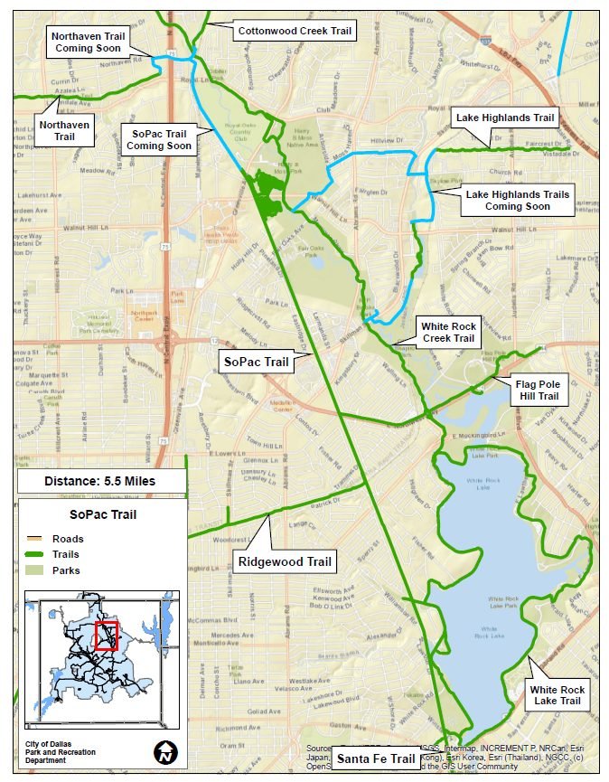
The SOPAC trail is a former railroad track, which has been converted into a generally north – south linear trail near White Rock Lake in East Dallas. The trail is currently approximately 5.5 miles long, but as you can see from the map above, there are plans to extend the trail further north, where it will intersect with the White Rock Lake, Cottonwood Creek, and the Northhaven trails in the near future.
When i think of this trail, it’s less about it’s beauty or sites it can offer, and more about the utility it brings. The SOPAC trail is a critical piece of the bike infrastructure in East Dallas, especially in the near future as it brings multiple other trails together to provide access around the city. You can take the Ridewood connector and ride to Mockingbird Station or down the Katy trail to hit Trinity Groves or downtown. Or you can take the Santa Fe connection you can ride down to Deep Ellum. Alternatively in the future, if you head north under the High Five on the Cottonwood Creek Trail, you can hit the Preston Ridge road and get all the way up to 190 and Preston. Note: last time i rode under the High Five (LBJ and Central Expressway), it was a bit scary and I’m not sure I’d want to dot that alone, unless things have changed. There were people under the bridge, a lot of broken glass, it didn’t feel safe.
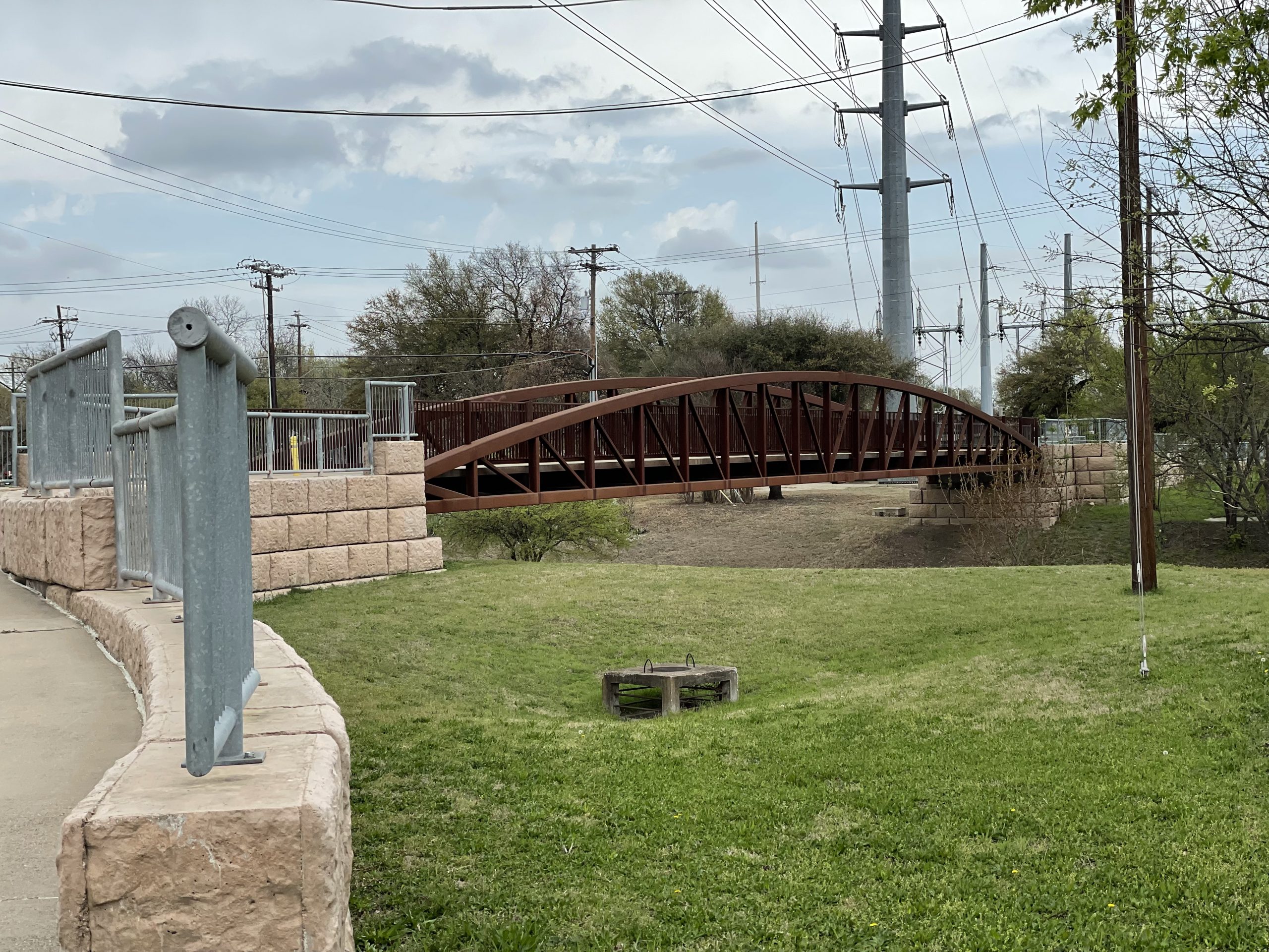
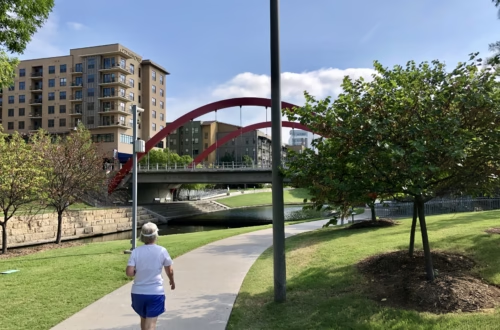
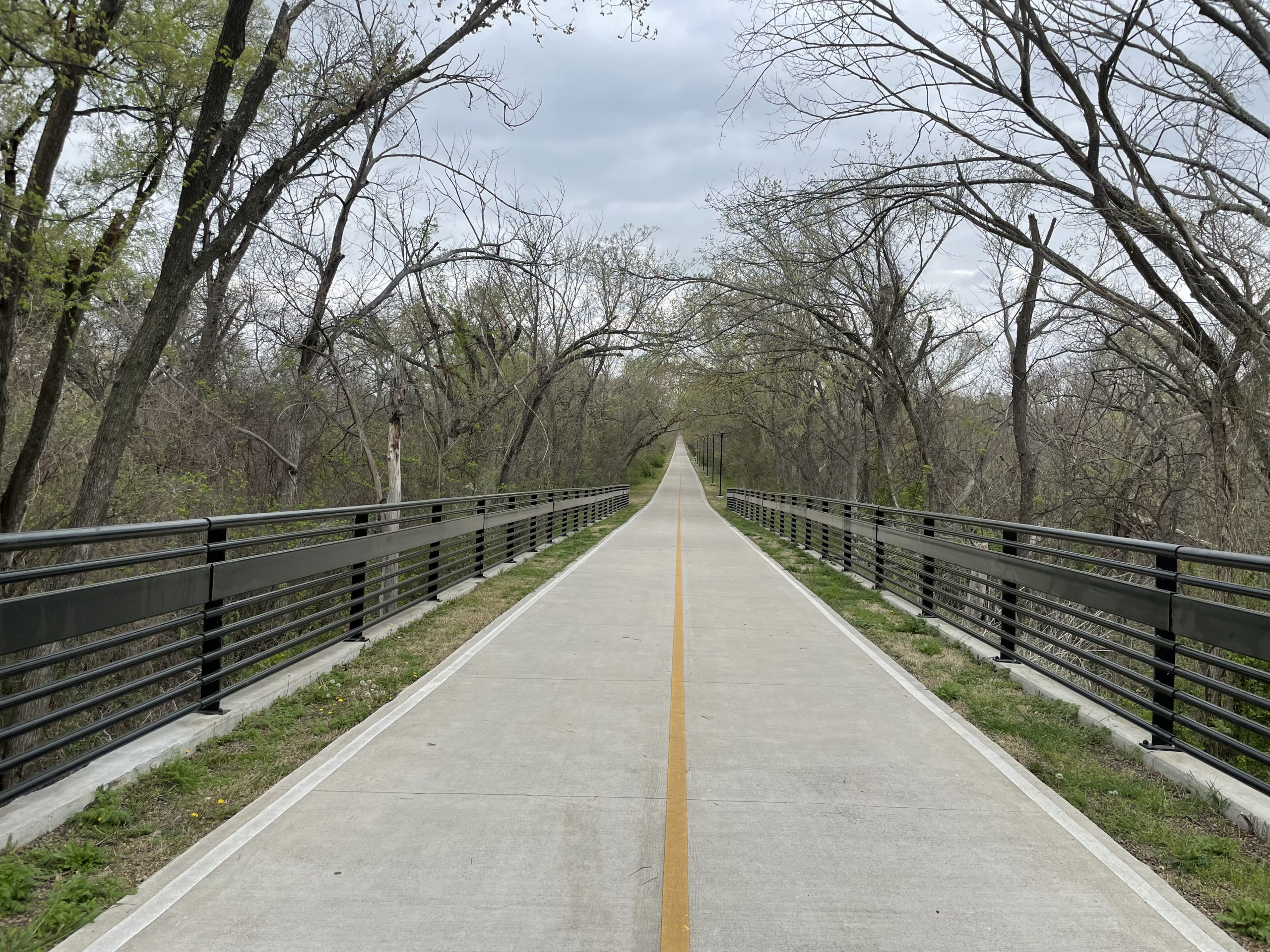
So enough about what the trail represents, what is it like? Well, it’s a long linear trail, for much of the trail there are tree branches growing over the top of the trail providing shade. Other parts of the trail are exposed to the sun. There are a few portions where you go underneath a busy road, and other portions where you will go above the road over bridges. That is about it. There are several junctions (RIdgewood junction requires you to head up a ramp, White Rock Lake intersections occur at the southern side of the trail), allowing you access to other parts of Dallas. The southern portion of SOPAC rather seamlessly joins the White Rock Lake trail, in the section where the trail has diverged (i.e. one side takes you along the Pump House and across the dam, where the other takes you down a more woody section).
As Dallas continues to invest in it’s trail system, the criticality of trails like the SOPAC trail, will be key to allowing safe access across the area by bike, without needing to fight traffic on the busy streets!


Jeff
A long time native of North Texas, I love to hike and mountain bike in my spare time. I’m always looking for some place new to explore, which is why I’m doing this site.